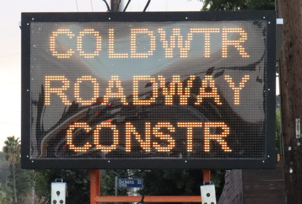
Drenched from the pounding rain, Daniel Arriaza ’19 stood on the corner of Halkirk and Coldwater Canyon, staring in disbelief at the flood of water rushing down the street before him. With only five minutes until the start of first period and seemingly no alternative solution, Arriaza rolled his pants up to his knees, removed his shoes and socks and waded barefoot through the murky “Coldwater River.”
“There was just so much water,” Arriaza said. “The only way to get to school [was] to go straight through. I stepped into the water and there was all this slimy stuff at the bottom. Then, I had to cross the river again to get onto campus. I was still late to class, and my pants were wet the entire day.”
This past month, a series of storms dumped approximately 18 trillion gallons of water on California, according to the National Weather Service. Los Angeles alone has received over 15.5 inches of precipitation since the beginning of this water year, which began Oct. 1. These rains have surpassed the average for the entire year of 14.93 inches. In addition, rain levels typically reach nine inches at this time of year, according to the Los Angeles Times.
“I would say that the weather we have been experiencing this February has been a little worse than what is typical for Southern California,” Public Information Officer and Los Angeles County Fire Captain Tony Imbrenda said. “I don’t know if unprecedented characterizes it but it has been colder and rainier than what is typical of here.”
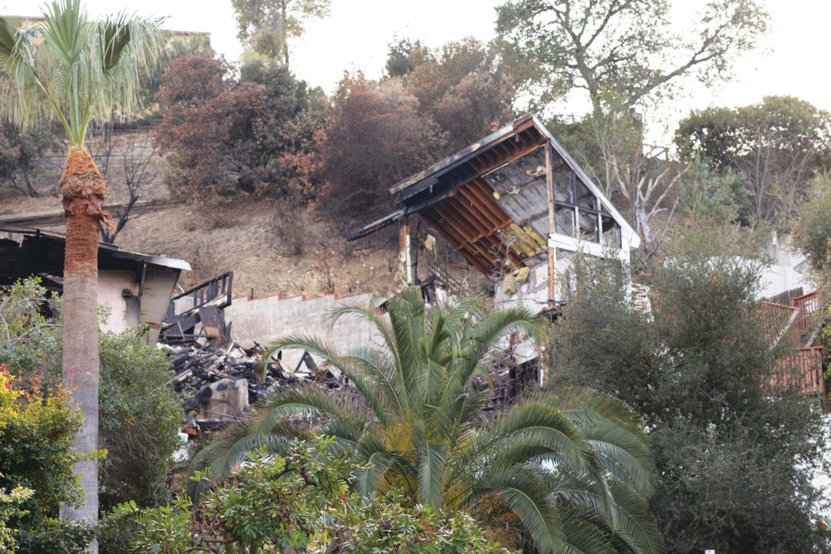
Heavy storms from atmospheric rivers have caused recent mudslides and flash floods across Los Angeles County. The hillside of Topanga Canyon Boulevard collapsed into the road Feb. 13, stranding cars and prompting a three-day closure starting from Pacific Coast Highway, KTLA reported. Dangerous mudflows on Country Club Drive led to additional road closures in Burbank the same day, according to KTLA.
Prior to this year, 14 of 20 rain years were recorded drier than usual, reported the Los Angeles Times. Despite the recent storms, current precipitation levels are historically average, Senior Meteorologist with the Weather Channel Dan Vedner said.
“The current rain patterns haven’t been abnormal,” Vedner said. “However, the storm system that just passed through and contributed to the rain has been one of the more impressive systems of the year. It’s decently cold air from here all the way to Mexico.”
However, decreased temperatures that accompanied the storm systems resulted in atypical snow across the state. In Los Angeles county, snow fell in Calabasas, Malibu, Pasadena and West Hollywood, as well as in additional low-elevation cities Feb. 22.
“When I walked out of class and saw snow falling from the sky, I was so excited,” Lily Dettman (Viewpoint School ’20) said. “I couldn’t believe it. It’s really rare and was definitely weird to see, but I’m glad I got to experience snow in Los Angeles. Everyone was really distracted in class, and we all ended up going outside since this is probably a once-in-a-lifetime thing.”
Though Los Angeles County last experienced light snow in 2007, it has not been recorded in Downtown Los Angeles since 1962, according to the Los Angeles Times.
In addition, the National Weather Service of Los Angeles Oxnard issued a frost advisory, effective from 6 p.m. Feb. 22 to 8 a.m. Feb. 23. The advisory alerted citizens that temperatures could drop to as low as 33 degrees Fahrenheit, posing a danger to sensitive plants.
“What contributed to the rain and snow was a really cold, deep and low pressure system that moved down the California coast,” Vedner said. “It doesn’t usually happen, but every once in a while, you’ll get an impressive weather system like this one. In the month ahead, it looks like the next few weeks will show long term trends of above average temperatures and slightly above average precipitation levels throughout the Los Angeles region.”

